About Satelyzer

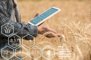
Satelyzer monitors agricultural fields and farms using satellite images,enabling farmers to monitor
their farm lands. In Satelyzer we have created an algorithm based on artificial intelligence that
processes the satelite images and provides excelent informations about crops and moisture which
is very useful for farm management

Our Services

Calculating the amount of crop production in the satelyzerf system for each agricultural land is done in both forward-looking and backward-looking ways.

Weather and climate information can help determine the optimal timing for agricultural operations in each region.

You can check the health and density of your farm weekly by registering your land in the system and accessing the index map.

With the help of this service, your land will suffer less damage, you will pay less for the purchase of poisons, and you will contribute to saving the environment and protect the health of citizens.

Continuous monitoring of soil moisture in agricultural areas helps the user to check the efficiency of uniform water distribution in fields and gardens.

Planting compatible crops with the soil texture of the field makes it easier to deliver water, fertilizer, and pesticides. With a soil texture map, farmers can quickly identify the soil type of each area on their farm without the need for costly soil testing and travel.

Sateleyzer system at a glance

By using satellitezer system, you can get everything you need for agriculture and monitoring through satellite data managed by artificial intelligence.