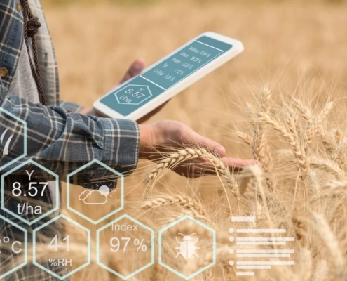
All you need for efficient agriculture
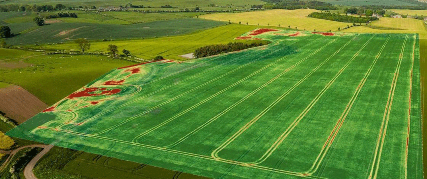
Satelyzer monitors agricultural fields and farms using satellite images,enabling farmers to monitor
their farm lands. In Satelyzer we have created an algorithm based on artificial intelligence that
processes the satelite images and provides excelent informations about crops and moisture which
is very useful for farm management


